Serhii Shchus
Hello! Glad to see you here. This is a collection of my personal projects made during free time.
- All Categories
- Data Visualization
- Apps & Maps
- Data Science
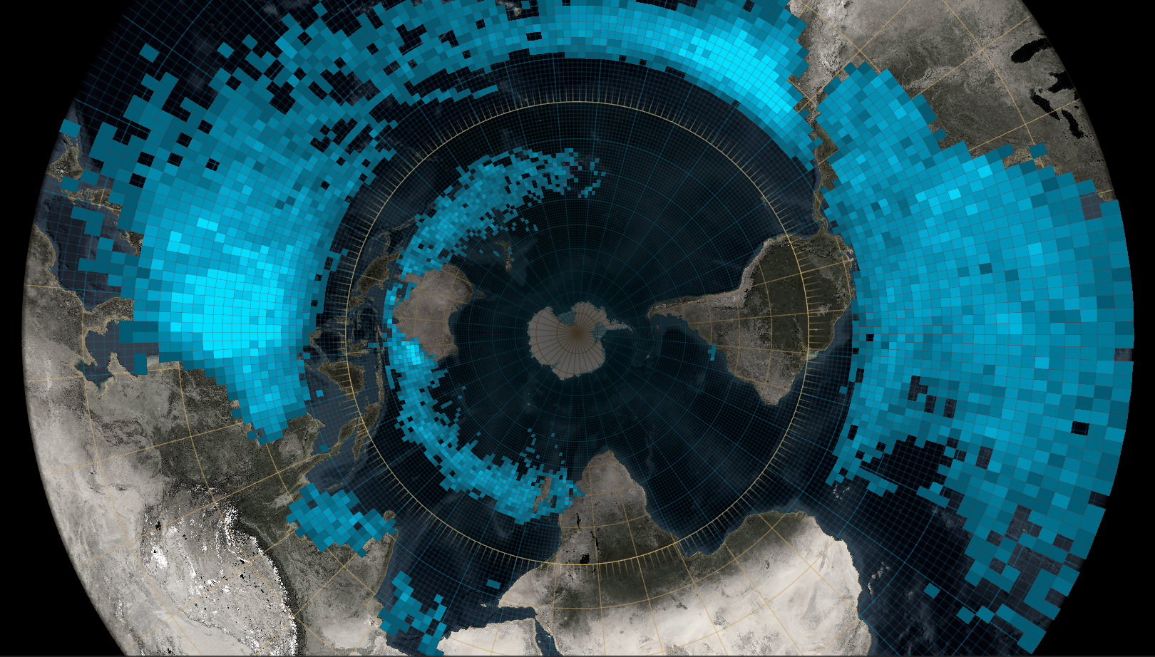
Hurricanes
(Made in GIS API, 2022)
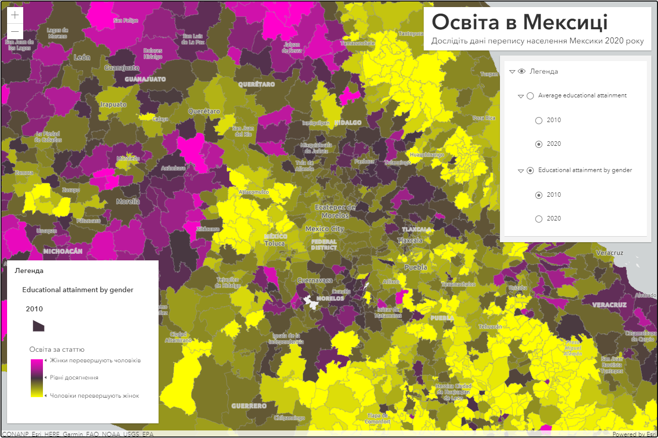
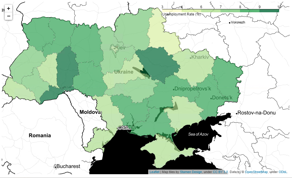
Education
(Made in GIS API, 2017)
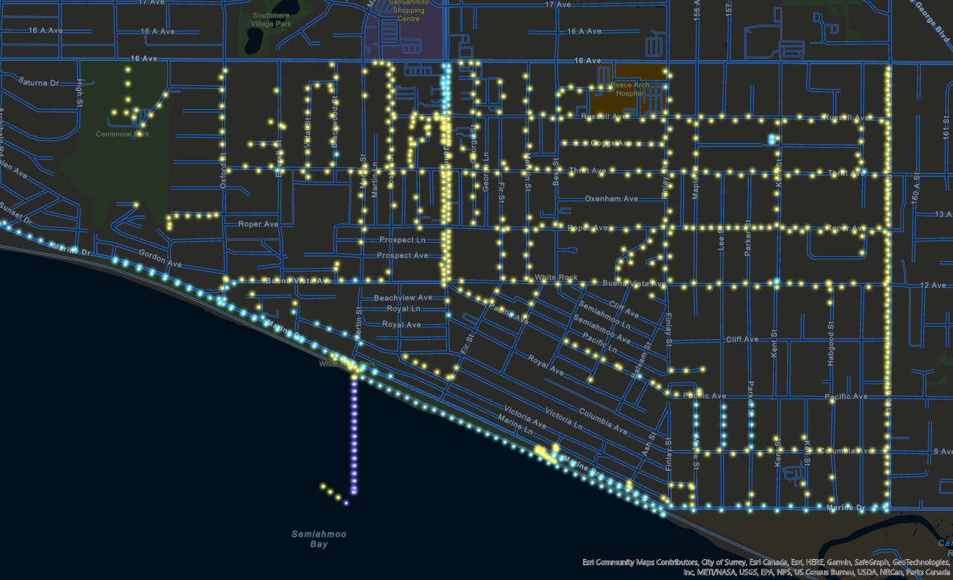
New York transport
(Made in R, 2017)
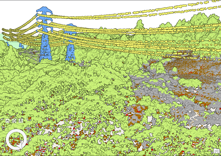
Power Line Classification model
(Made in GIS Pro, 2020)
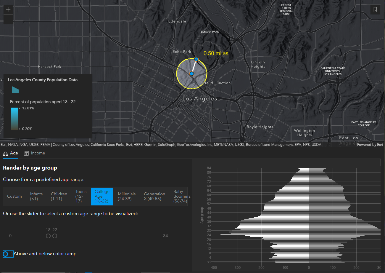
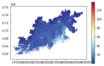
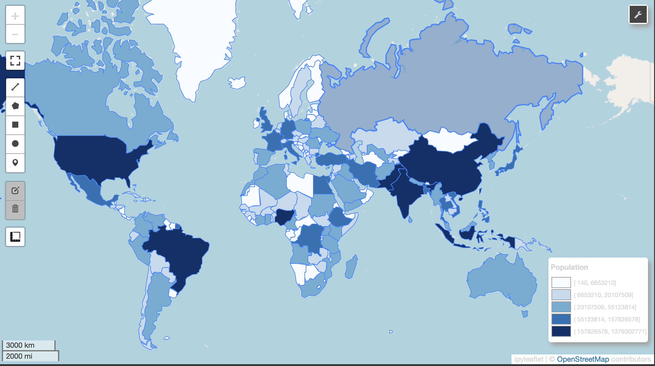
Los Angeles County Population Data
(Made with GIS API, 2021)
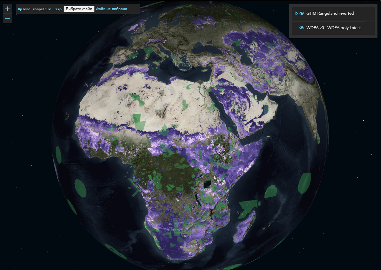
Viewer shp files
(Made with GIS API, 2021)
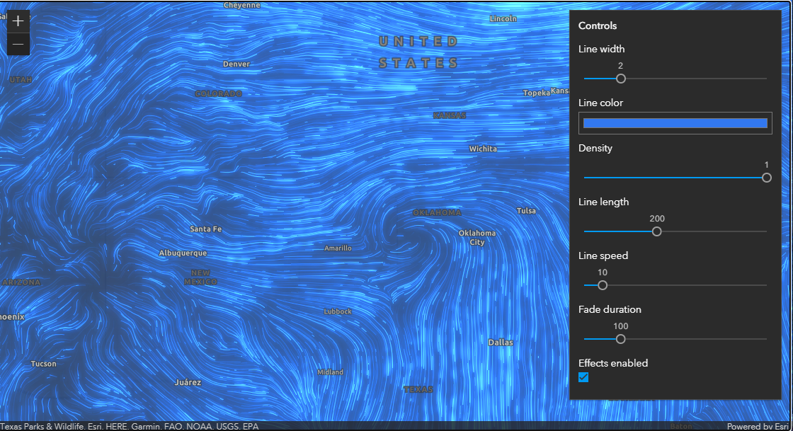
Animated Flow Renderer
(Made with GIS API, 2021)
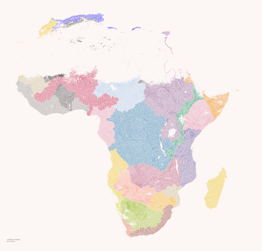
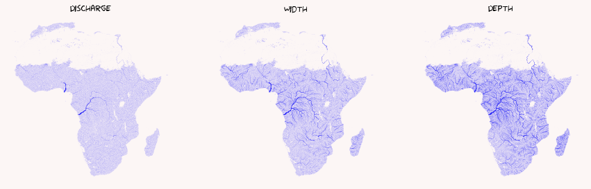
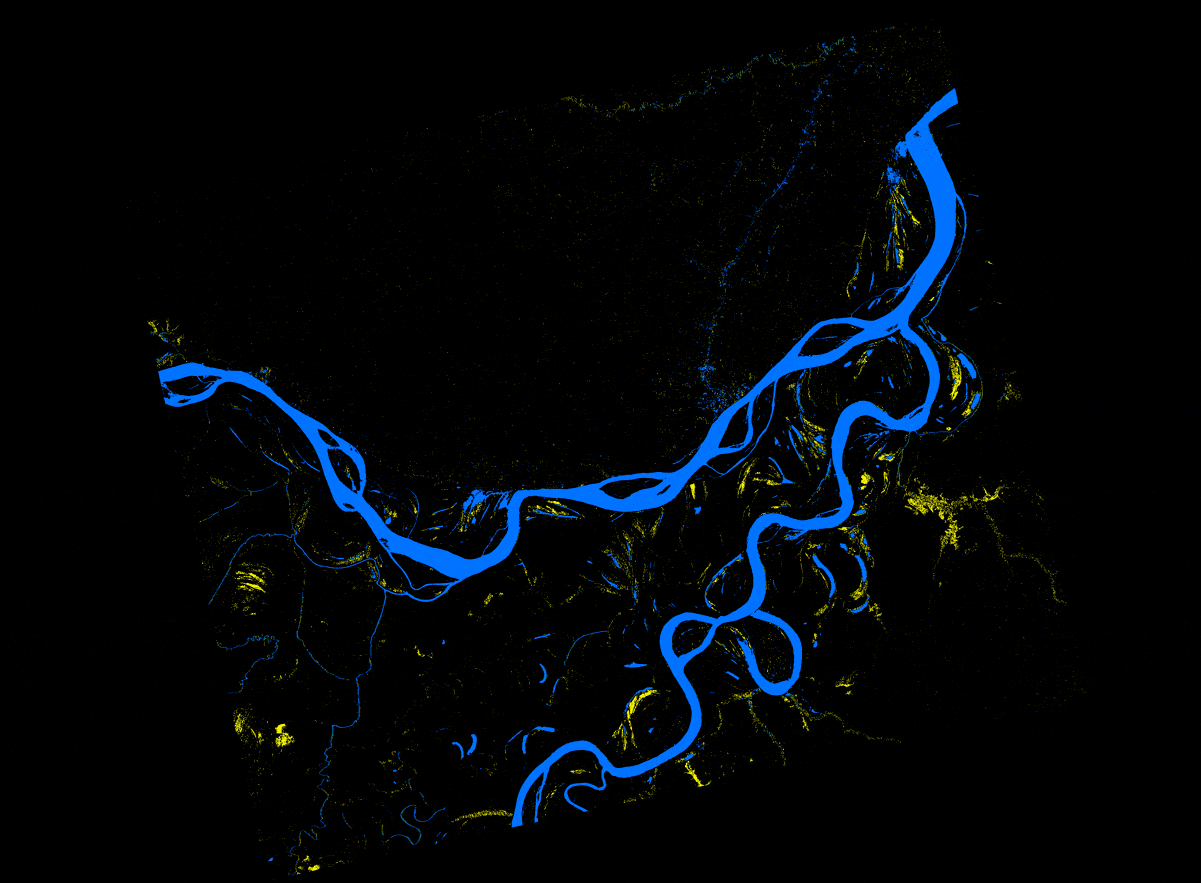
Africa's rivers
(Made in geopandas, 2022)
World rivers
(Made in geopandas, 2022)
World flights
(Made in geopandas, 2022)
Project_021
(Made in geopandas, 2020)
Project_022
(Made in OSMX, 2020)
fast_map_0001
(Made in folium, 2021)
HeatMapWithTime Plugin
(Made in folium, 2022)
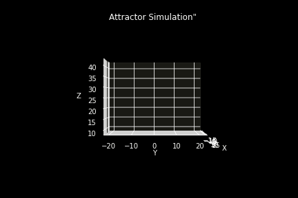
Attractor Simulation
(Made in matplotlib, 2022)
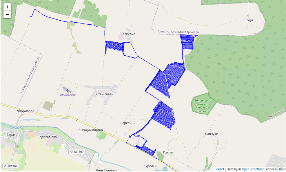
Tracks to GIS
(Made in geopandas, 2022)
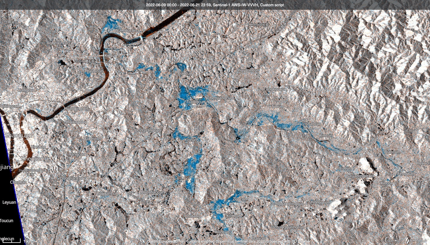
China flood
(Made in SentinelHUB, 2022)
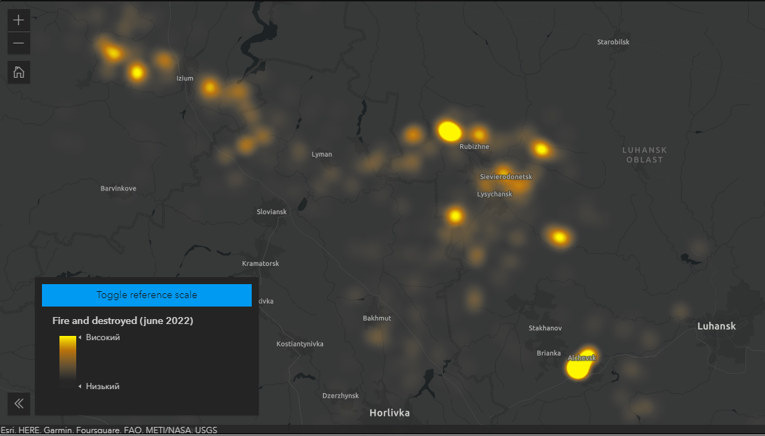
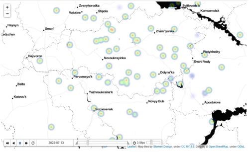
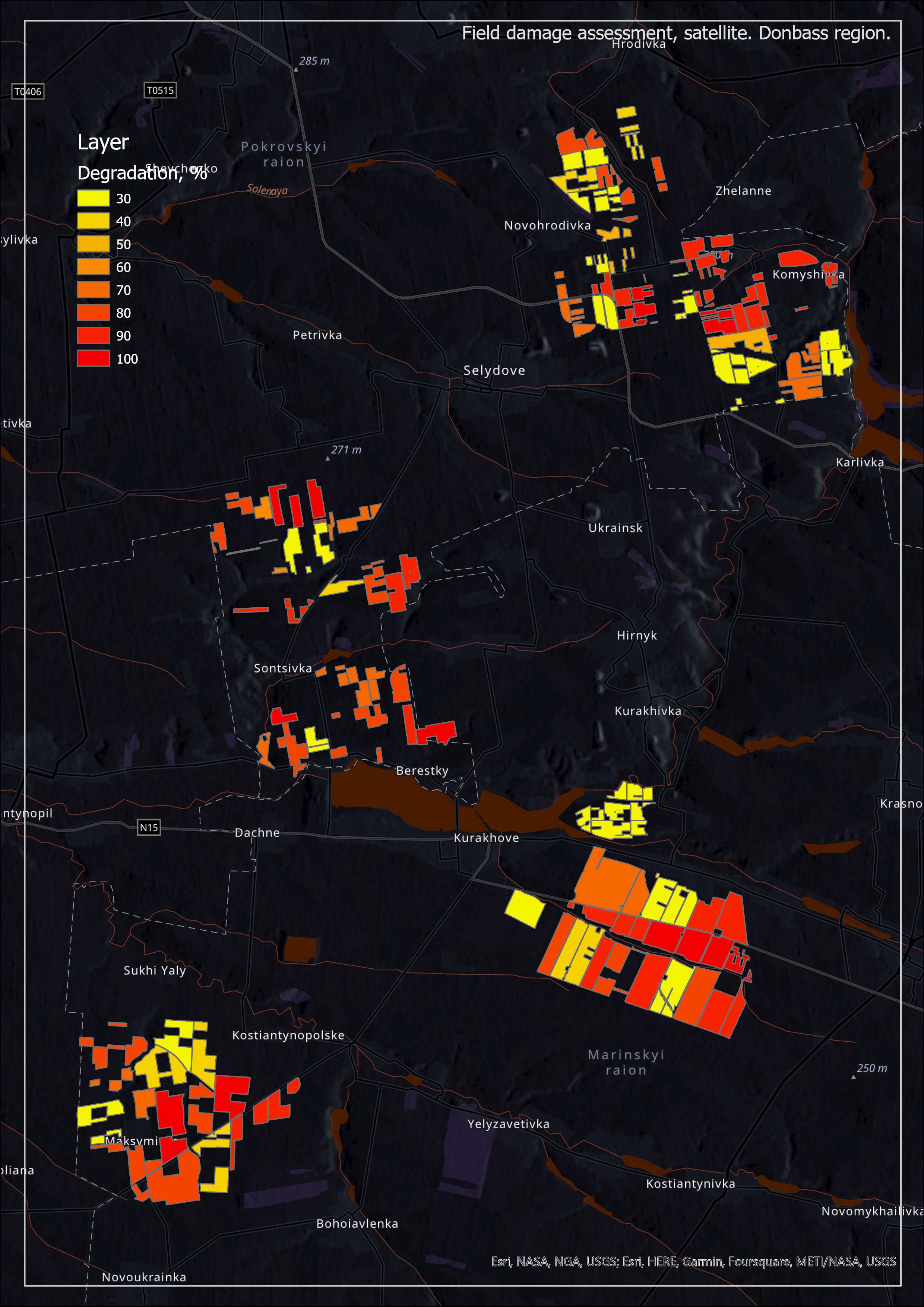
Fire and destroyed (june 2022)
(Made in EsriAPI, 2022)
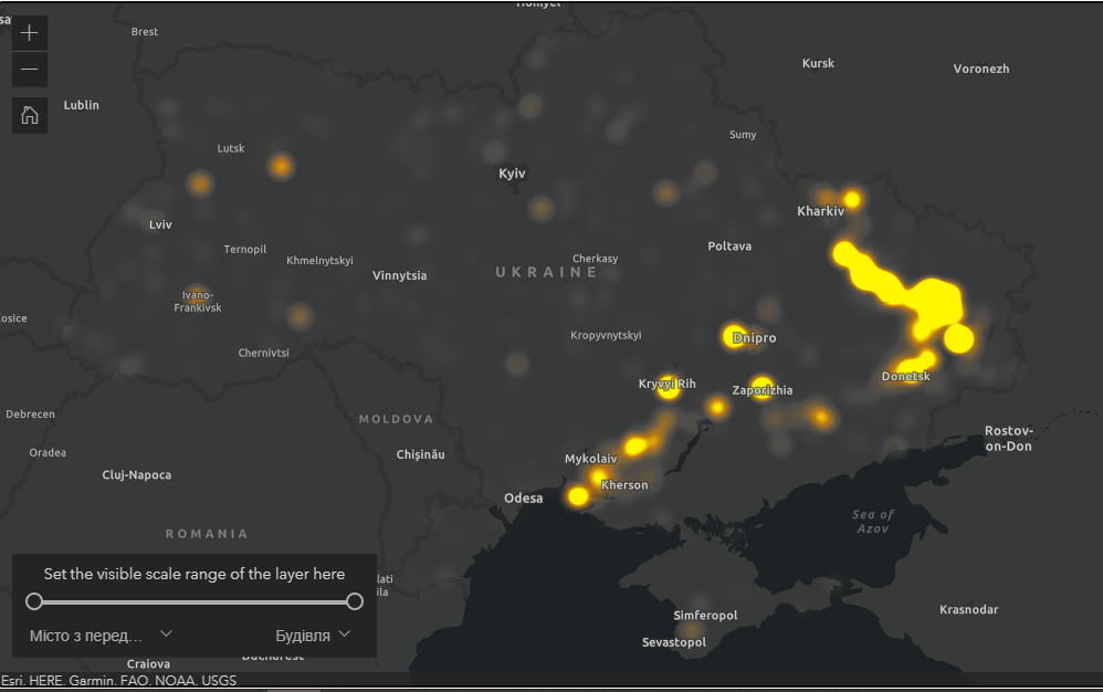
Fire and destroyed (june 2022)
(Made in EsriAPI, 2022)
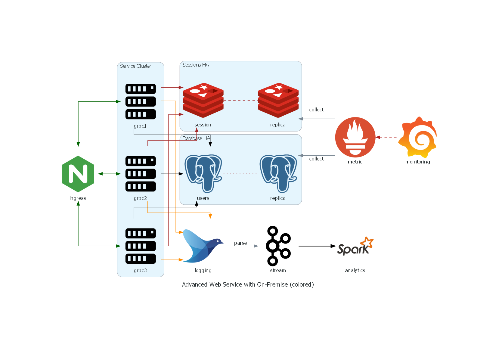
Service architecture
(Made in python, 2022)
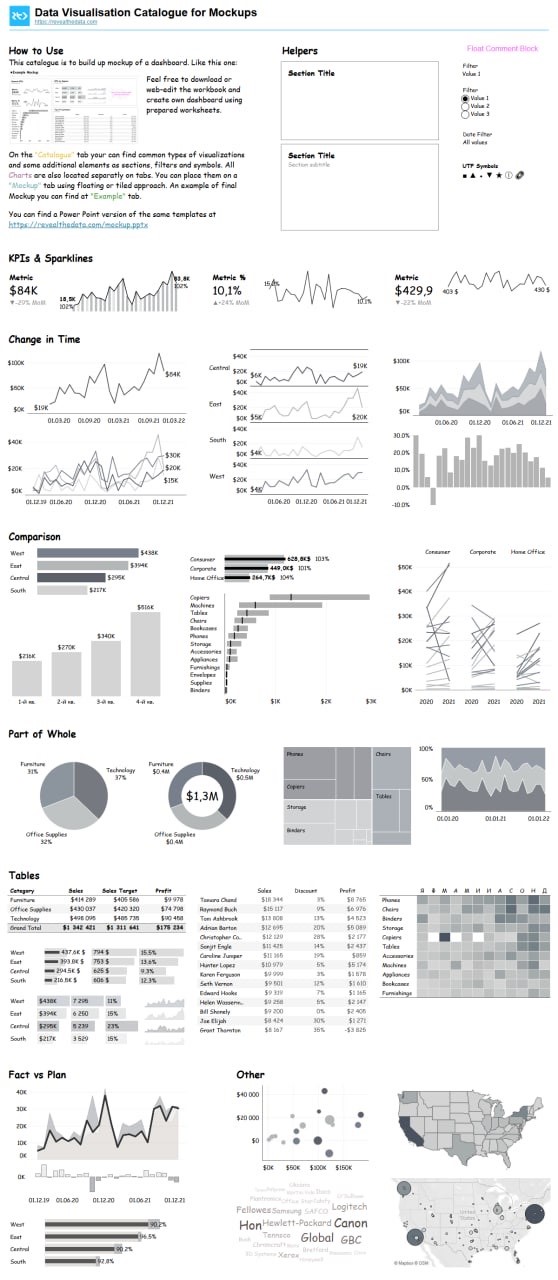
Examples of DataViz
(Made in Tableau, 2022)
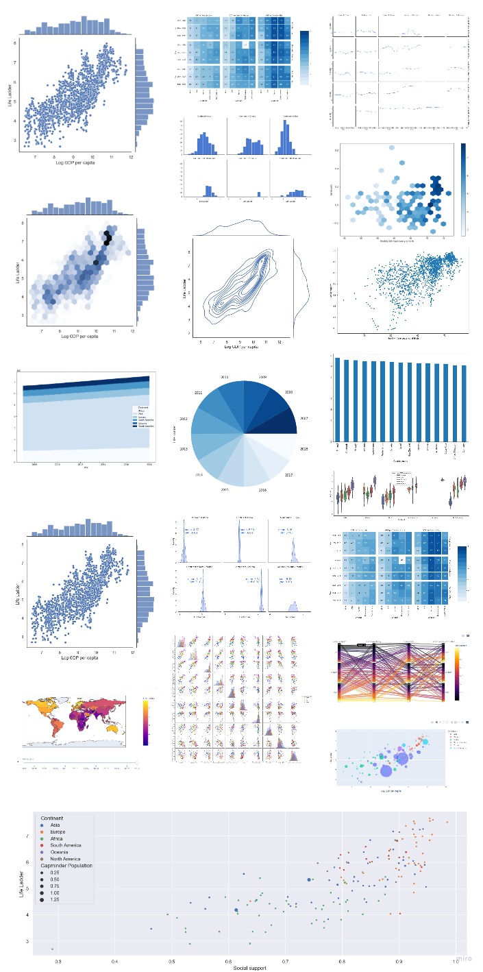
Examples of DataViz
(Made in Python, 2022)
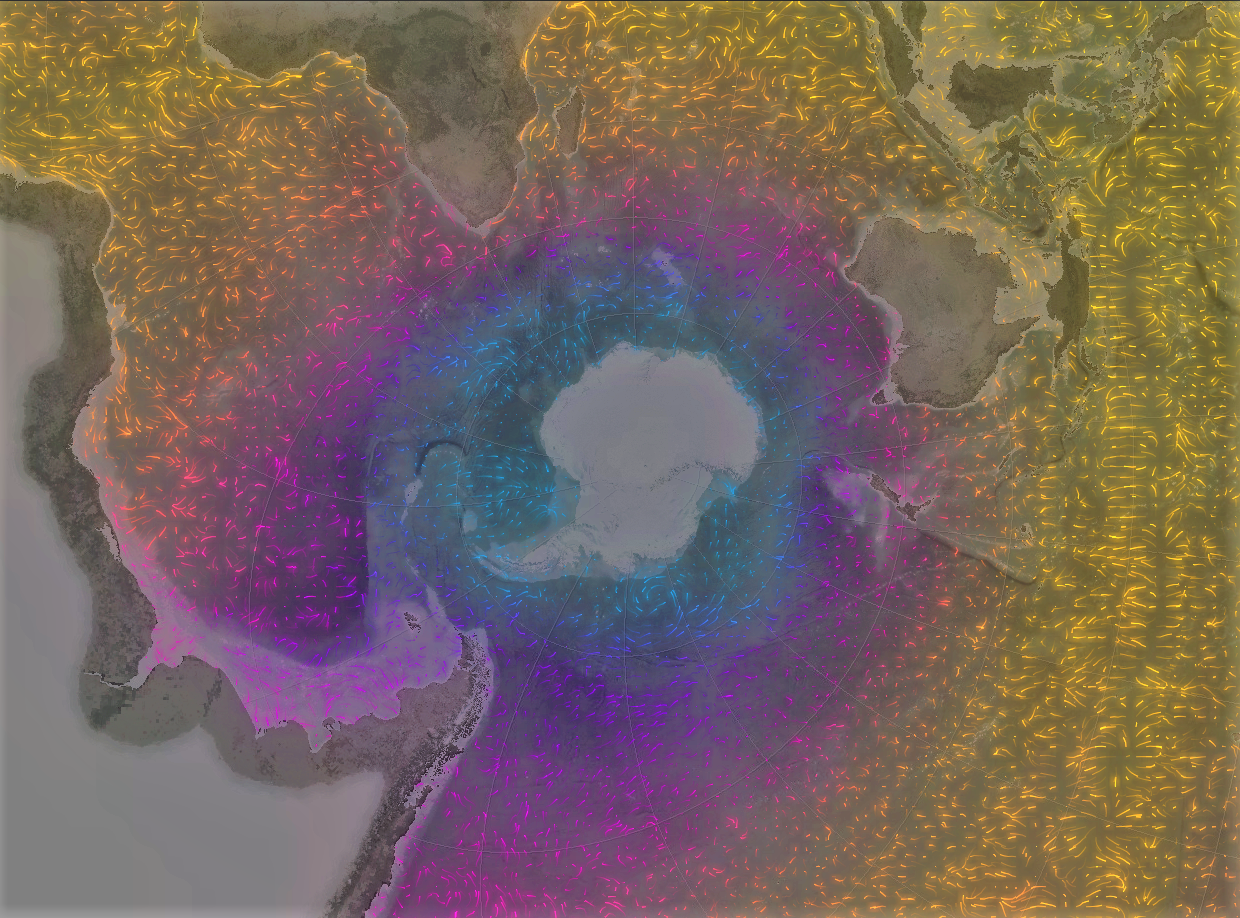
Sea surface temperature
(Made in GIS, 2022)
Regional-Inundation-L-band-SAR
(Made in GISPro, 2022)

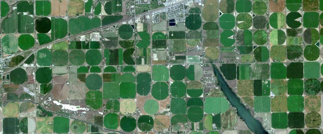
Satellite mosaic for app
(Made in GISPro, 2022)
R-start
(2022)
Leafmap-interactive_map
(2022)
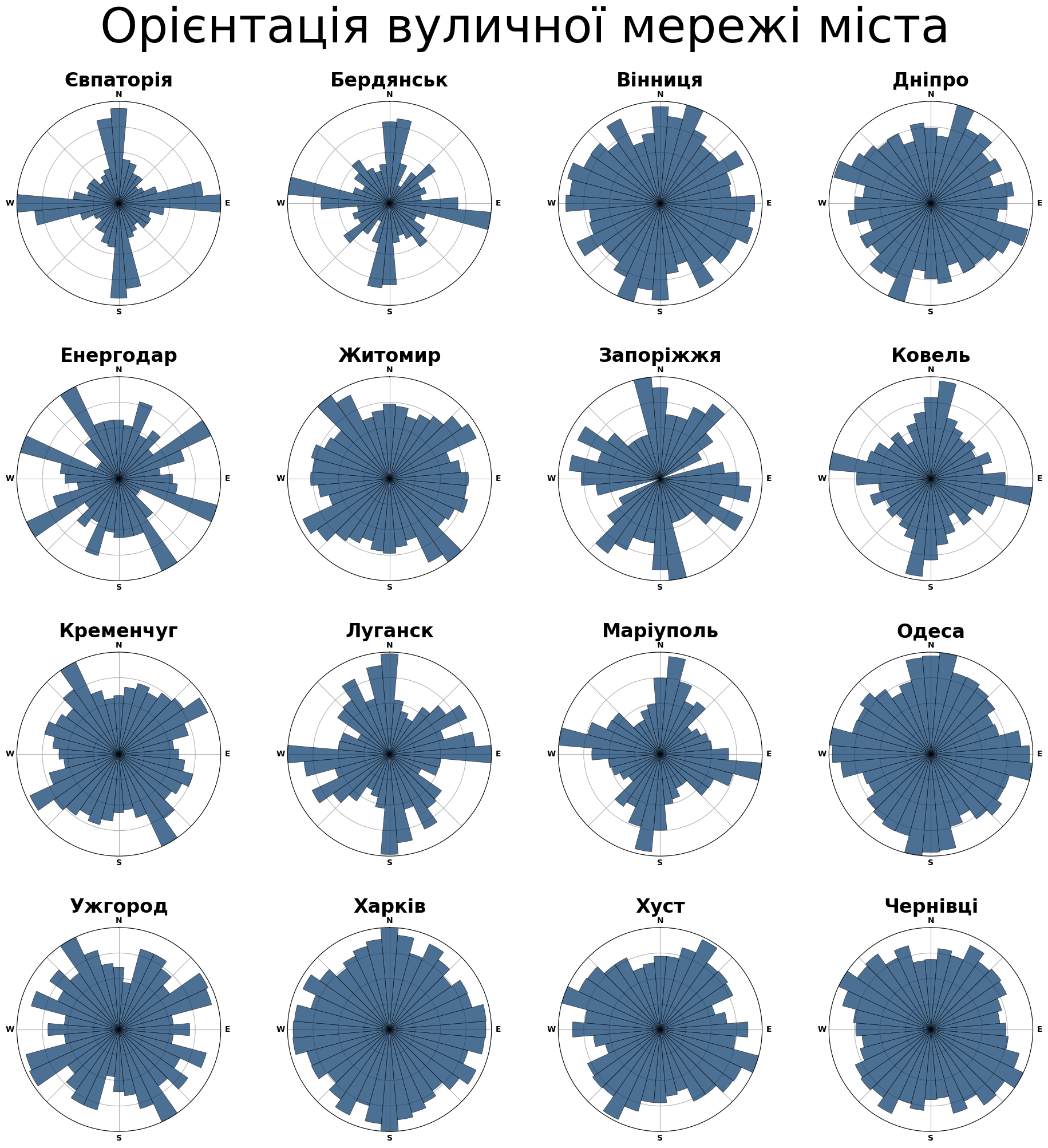
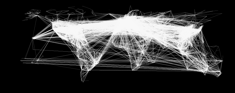
Street orientation
(Made in python, 2022)
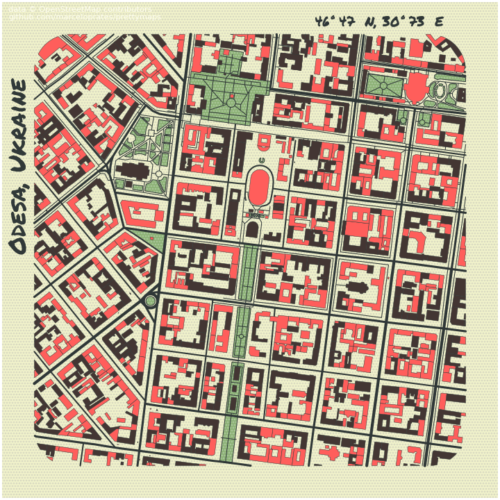
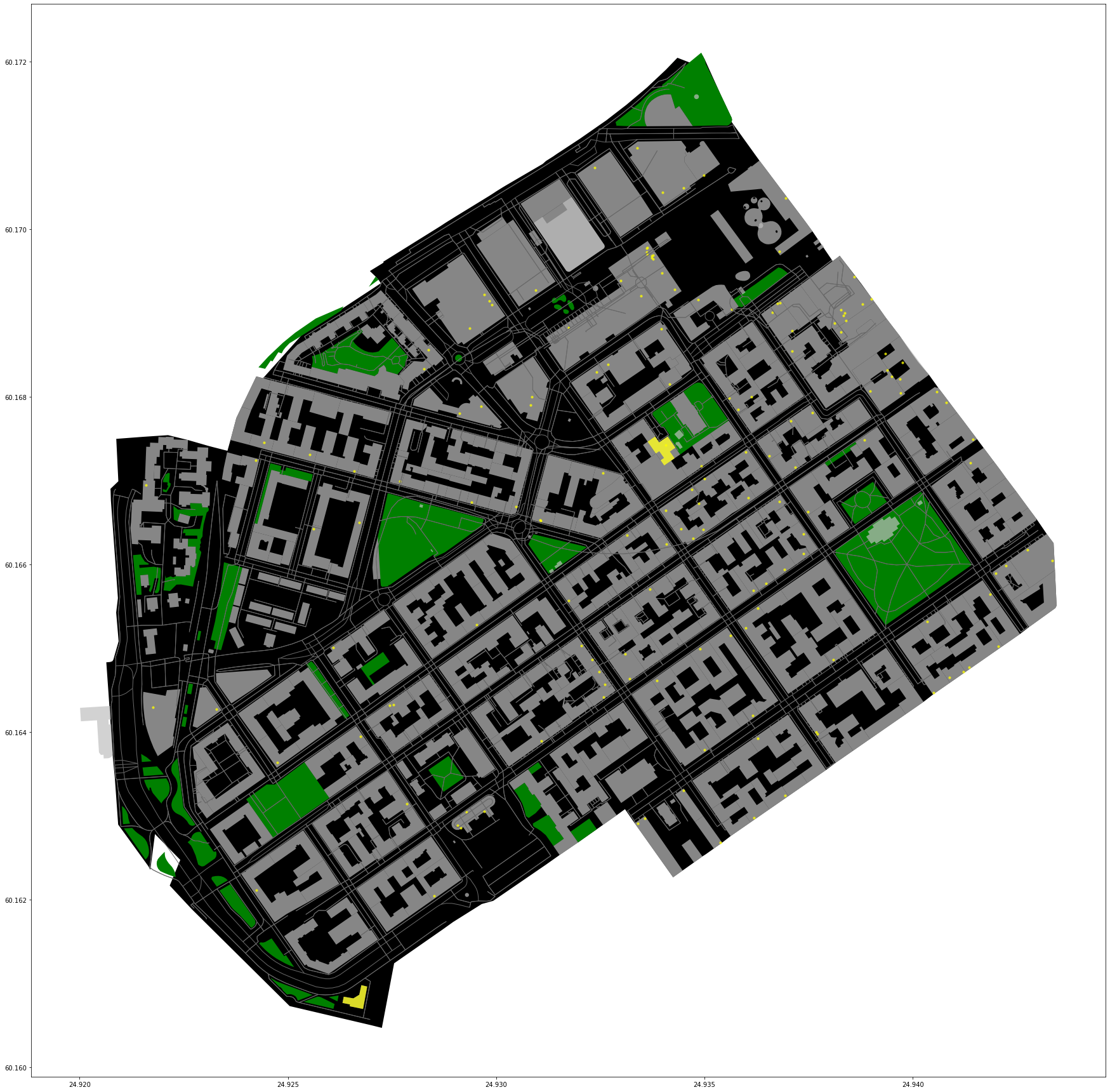
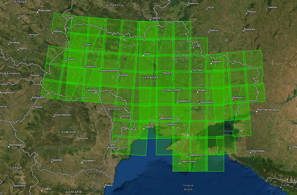
Odesa
(Made in python, 2021)
World tour
(Made in python, 2021)
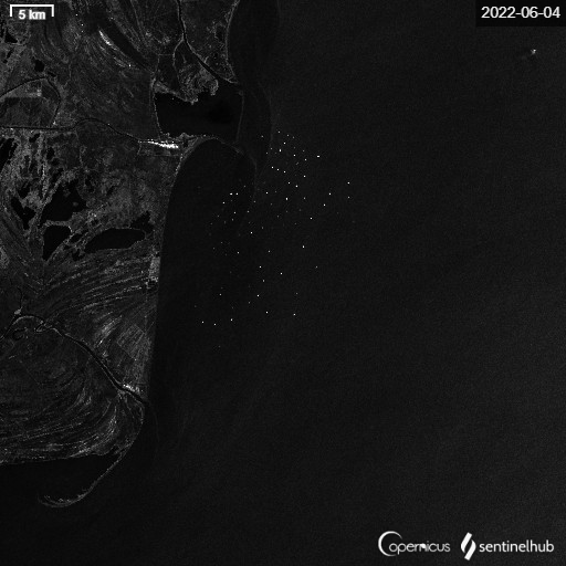
Detect ship
(Made in GIS, 2022)
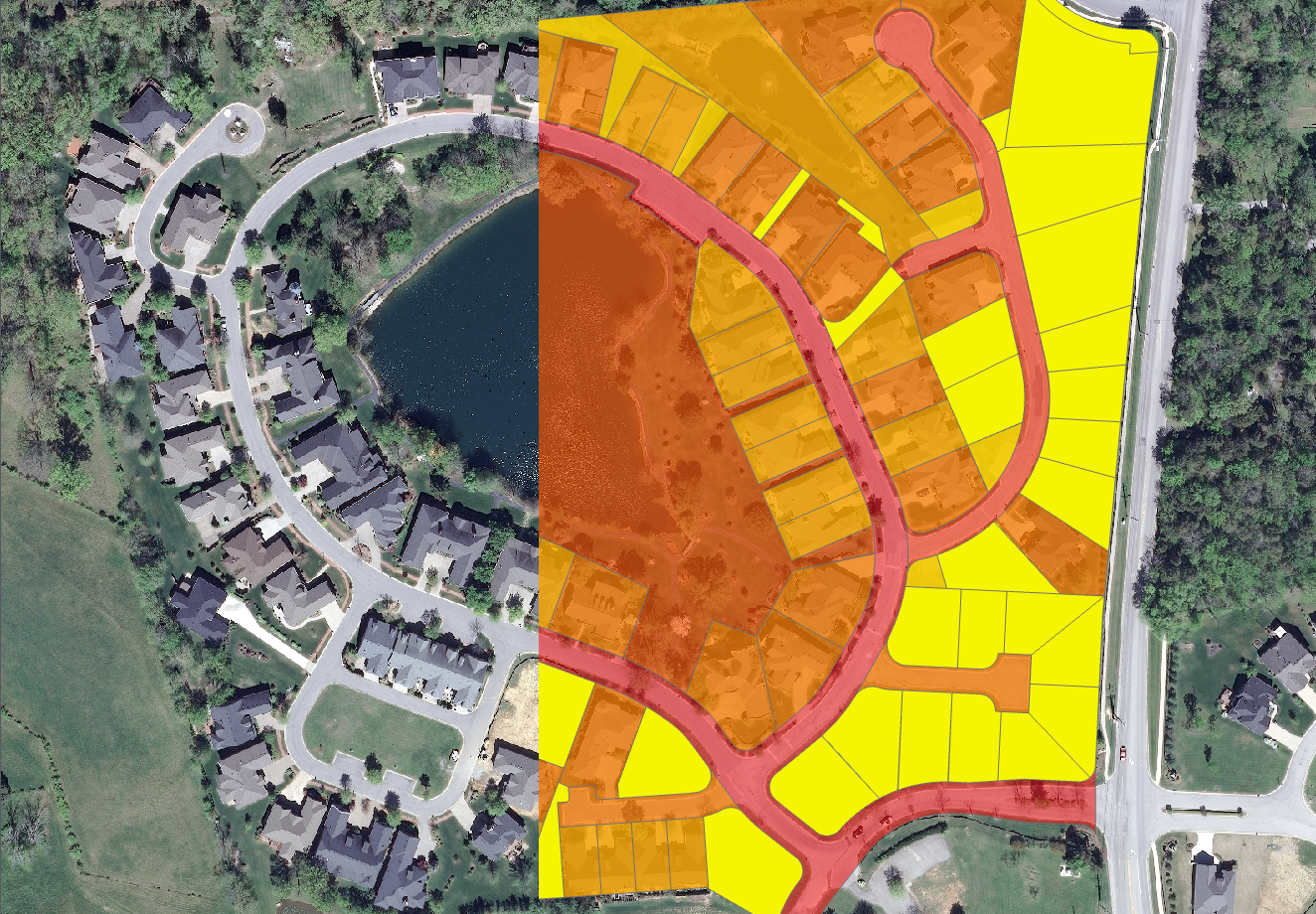
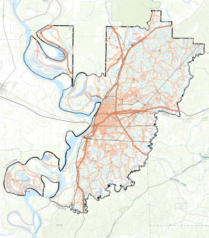
Impervious_Area
(Made in GIS, 2022)
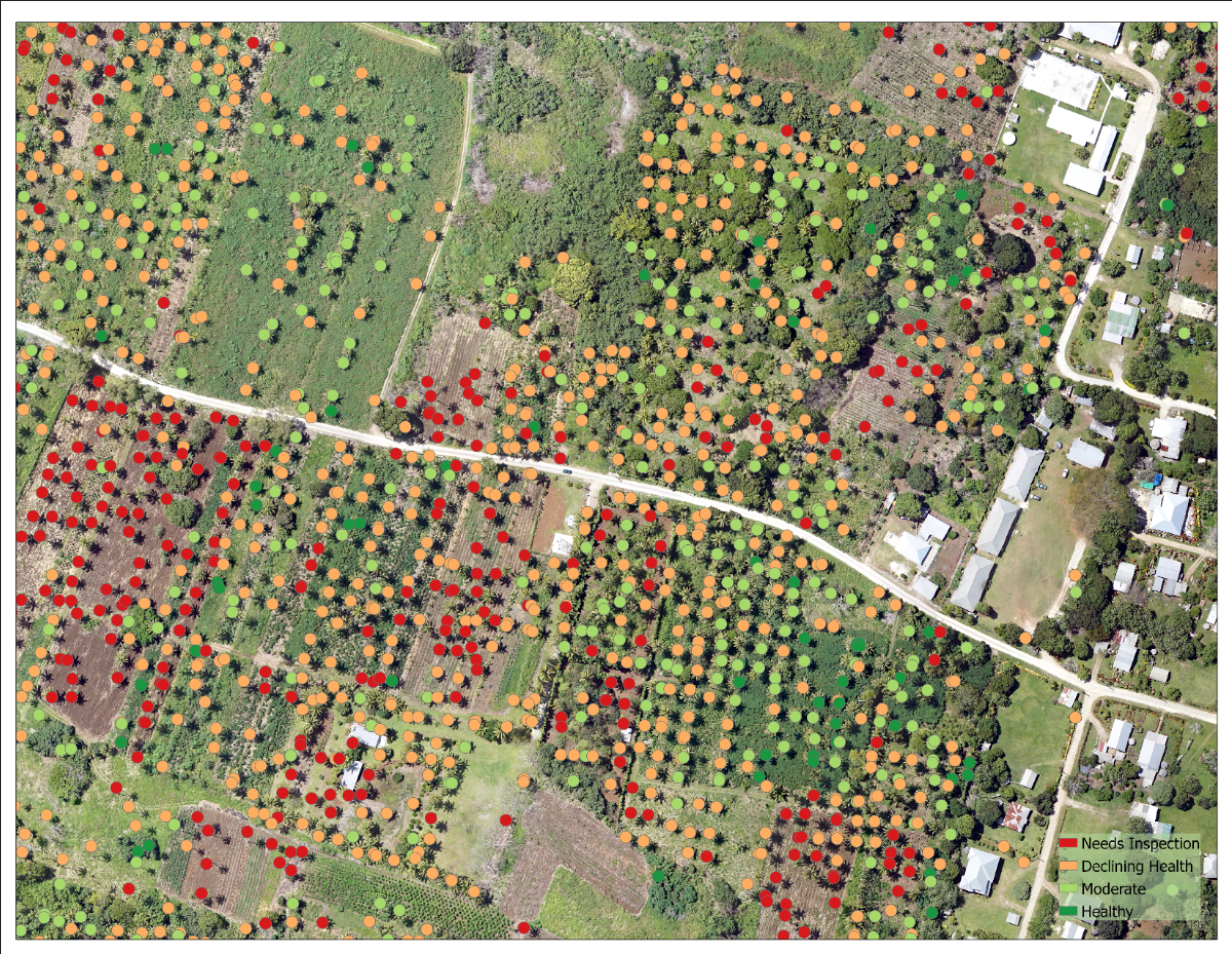
Trees_detection
(Made in GIS, 2022)
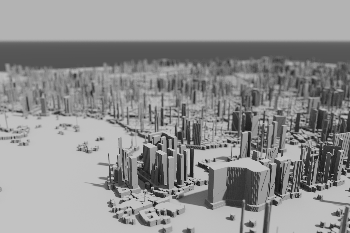
3D_buildings
(Made in QGIS, 2022)
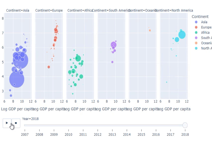
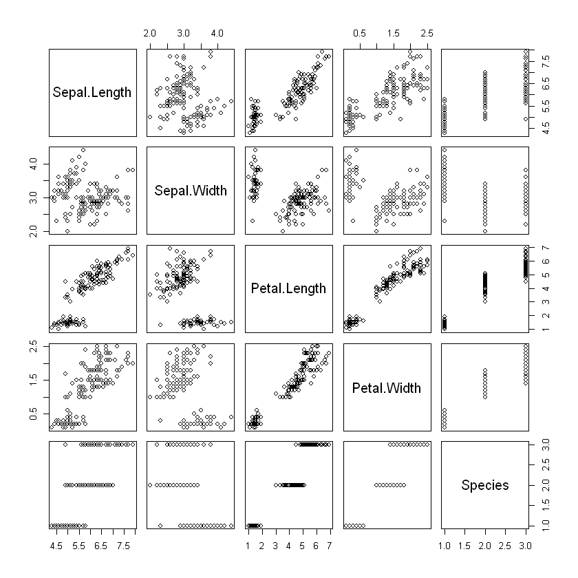
Scatter plot
(Made in Python, 2022)
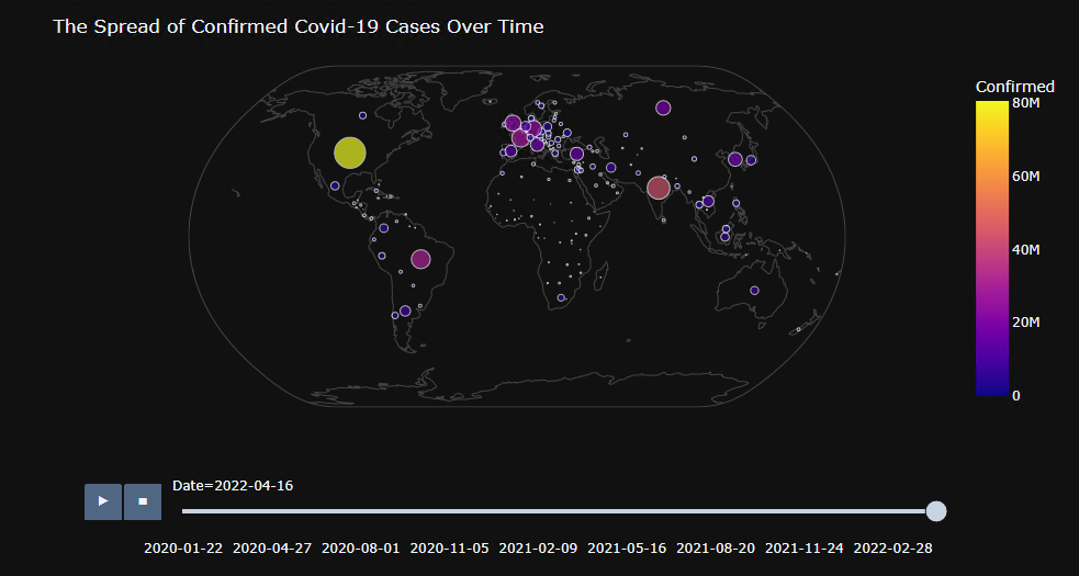
Interactive plot
(Made in Python, 2022)
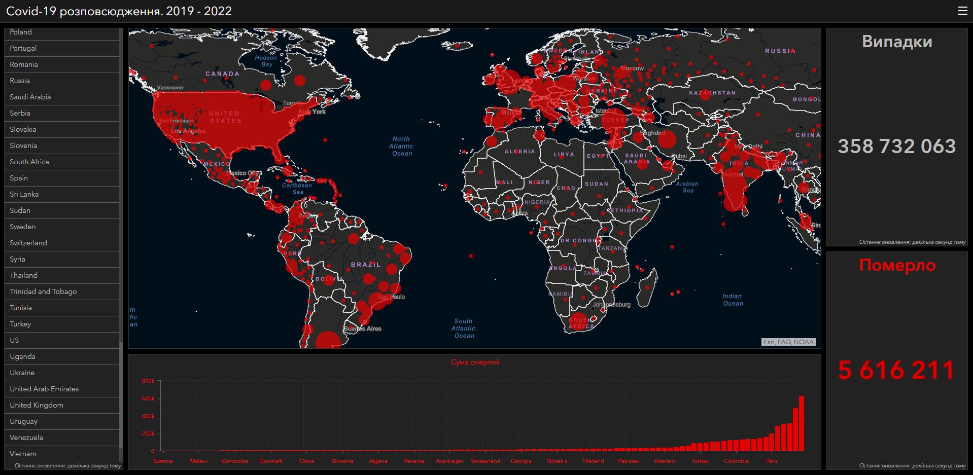
Interactive app
(Made in Python, 2022)
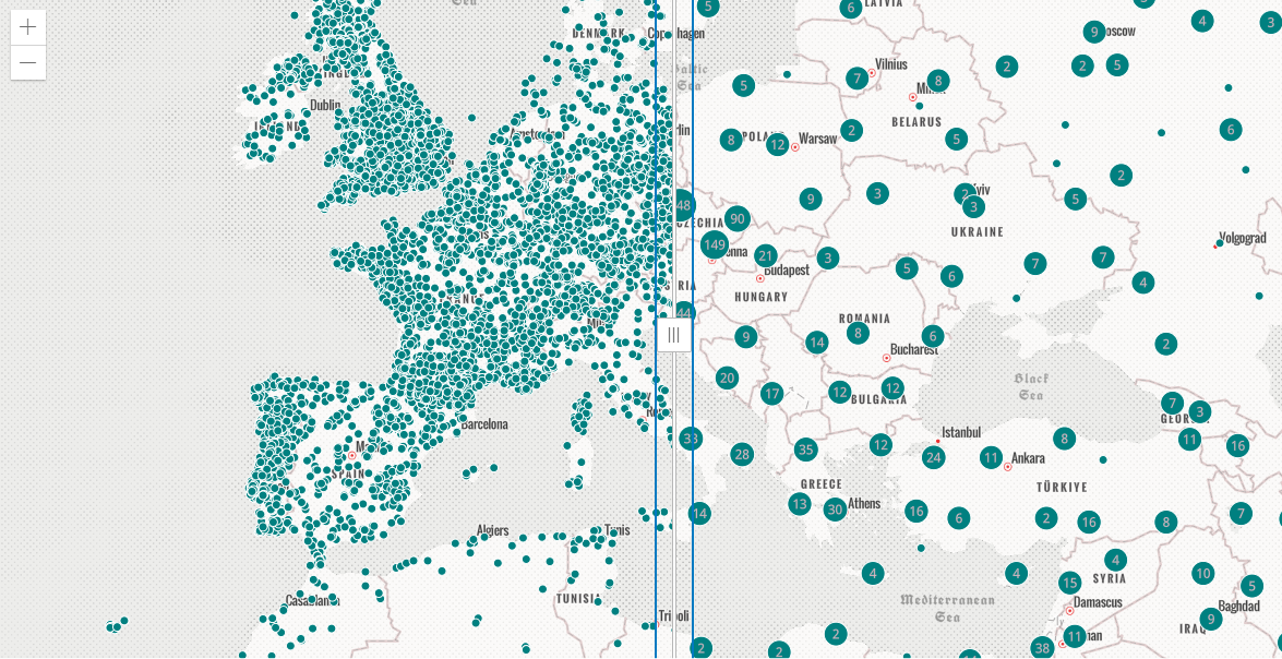
Cluster app
(Made in Python, 2022)
Loss calculation
(Made in GIS, 2021)
Loss calculation
(Made in GIS, 2021)
Metadata in ArcGIS Pro
(Made in GIS, 2021)
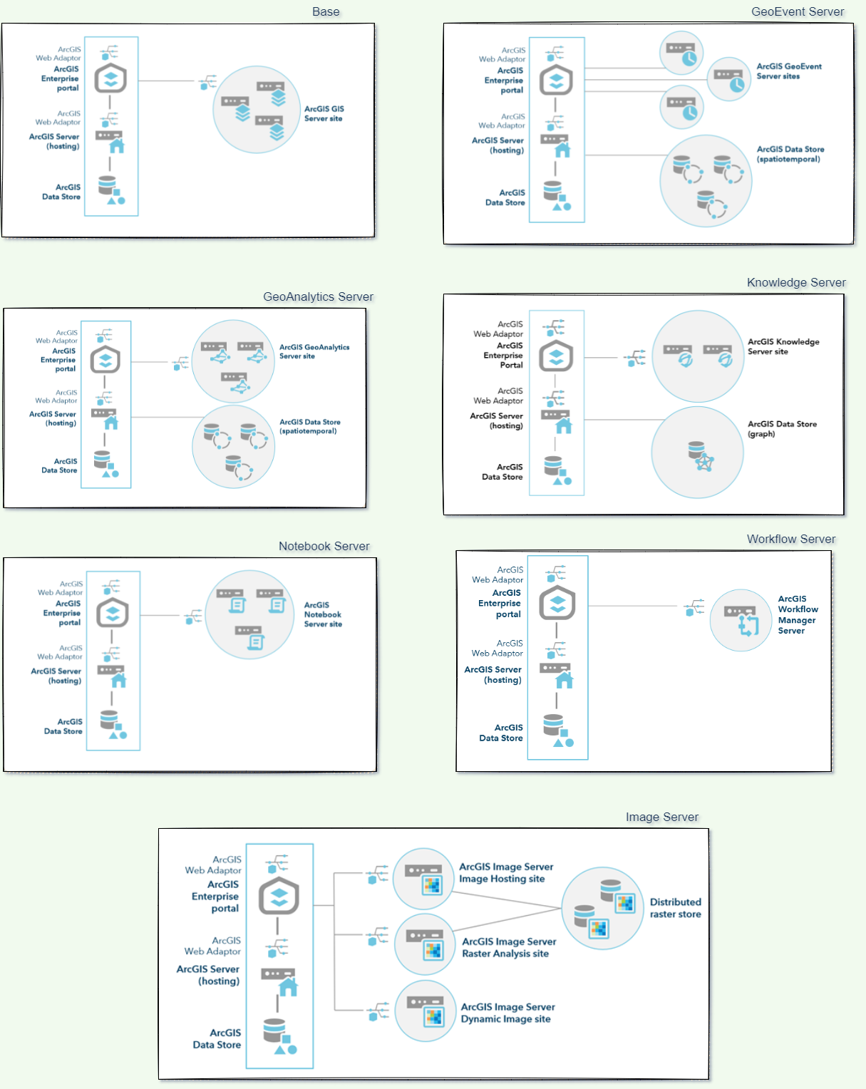
Enterprise Servers Architecture
(Made in Esri, 2022)
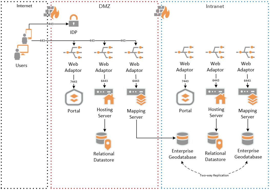
Enterprise Servers Secur
(Made in Esri, 2022)
Control data quality with attribute rules
(Made in Esri, 2022)
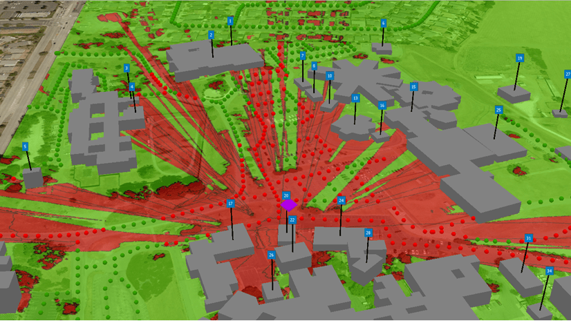
App with Military Tools for ArcGIS
(Made in GisPro, 2022)
